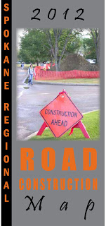

For those who like to be prepared, I’ve got a sneak peek at the 2012 Spokane Regional Road Construction Map here.
The map is a collaboration of local jurisdictions that work with transportation. This year the City designed the map. It is developed annually in an effort to keep traffic moving by helping drivers, bicyclists and pedestrians avoid slow downs caused by road construction.
A print version of the map will be available within about a week so check back here to find out where you can pick up your free copy.
That’s a nice idea … They were thinking about the motorists as well, not just about the completion of the construction project. How is this opened to the public, btw?
If you mean how do you literally open the file to open the map, click on the word 'here' in the first paragraph; it's linked to the map. If you're curious how members of the public can get a hard copy of the map, they're available now at City Hall near the first floor entrance, at Spokane Valley City Hall and at the Washington State Department of Transportation office off North Foothills Drive across from the Yokes store.